

|
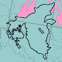
MLRA 35 - Colorado and Green River PlateausArizona, Colorado, and Utah123,350 km2 (47,630 mi2) |

|
Land Use:
Approximately 90 percent of this area is rangeland. The range is grazed by sheep and cattle. About 1 percent of the area, along the valleys of the major streams, is irrigated cropland. Alfalfa, small grains for hay, and corn for silage are the chief crops. About 1 percent of the area in scattered small tracts on Indian reservations is dry-farmed, and corn is the chief crop. About 8 percent is juniper and pinyonjuniper woodland. Firewood and pinyon nuts are products of this woodland, which is also grazed by cattle and sheep. If the areas are overgrazed, juniper invades the grassland. Severe gullying and the lack of a dependable water supply are land use problems.
Soil Landscapes | Soil Climates | Soil Datasets | Personnel | Site Map
Comments and Questions
12/16/98