


|
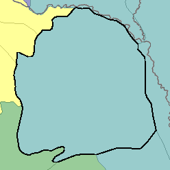
102A - Rolling Till PrairieMinnesota and South Dakota38,600 km2 (14,900 mi2) |

|
Elevation and Topography:
Elevation ranges from 300 to 400 m on lowlands to 400 to 500 m on uplands. Isolated highs on the Prairie Coteau in northern South Dakota are about 600 m. The nearly level to rolling topography has many depressions and ill defined drainages. Steeper slopes are on the sides of drainageways and in breaks adjacent to some of the larger tributaries.
Soil Landscapes | Soil Climates | Soil Datasets | Personnel | Site Map
Comments and Questions
12/16/98