

|
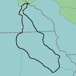
MLRA 104 - Eastern Iowa and Minnesota Till PrairiesIowa and Minnesota22,640 km2 (8,740 mi2) |

|
Land Use:
Nearly all this area is in farms, and about 80 percent is cropland. Corn, soybeans, other feed grains, and hay are the major crops. Less than 10 percent is pasture. A similar proportion is wooded, mainly on wet bottom land and on steep slopes bordering stream valleys. Raising and feeding hogs and beef cattle and dairying are important enterprises. Many of the wet soils require artificial drainage for good growth of field crops commonly grown in the area. Erosion is a hazard on sloping soils.
Soil Landscapes | Soil Climates | Soil Datasets | Personnel | Site Map
Comments and Questions
12/16/98