


|
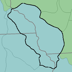
MLRA 105 - Northern Mississippi ValleyLoess HillsIllinois, Iowa, Wisconsin, and Minnesota. 57,520 km2 (22,210 mi2) |

|
Elevation and Topography:
Elevation ranges from 200 m on the valley floors to 400 m on the highest ridges. The sloping to hilly uplands are dissected by both large and small tributaries of the Mississippi River. Bottom land along all streams is narrow. Some ridgetops are broad and have undulating slopes. Local relief is mainly several meters to several tens of meters.
Soil Landscapes | Soil Climates | Soil Datasets | Personnel | Site Map
Comments and Questions
12/16/98