


|
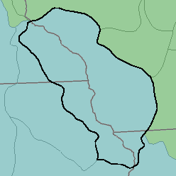
MLRA 105 - Northern Mississippi ValleyLoess HillsIllinois, Iowa, Wisconsin, and Minnesota. 57,520 km2 (22,210 mi2) |

|
Land Use:
Nearly all this area is in farms, but only about two-fifths is cropland. Feed grains and forage for dairy cattle and other livestock are the principal crops. About one-fifth of the area is permanent pasture. Nearly one-third, mainly the more sloping parts, consists of farm woodlots used for commercial timber production and for farm products. The Mississippi River and major tributaries provide opportunities for recreation. Controlling erosion on sloping lands and protecting lowlands from stream overflow are the principal concerns of management.
Soil Landscapes | Soil Climates | Soil Datasets | Personnel | Site Map
Comments and Questions
12/16/98