


|
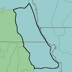
MLRA 106 - Nebraska and KansasLoess-Drift Hills Kansas and Nebraska27,090 km2 (10,460 mi2) |

|
Elevation and Topography:
Elevation ranges from 300 to 500 m, increasing from east to west. In most places this dissected glacial-drift plain is mantled by thick loess. Ridgetops are broad and smooth, and slopes are nearly level to strongly sloping. Stream valleys are bordered by relatively narrow bands of hilly to steep slopes. Valley floors are narrow except along one or two of the larger tributaries of the Missouri River. Local relief is mainly several meters, but some of the larger valleys are 25 to 50 m or more below the level of the adjacent uplands.
Soil Landscapes | Soil Climates | Soil Datasets | Personnel | Site Map
Comments and Questions
12/16/98