


|
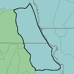
MLRA 106 - Nebraska and KansasLoess-Drift Hills Kansas and Nebraska27,090 km2 (10,460 mi2) |

|
Land Use:
Nearly all this area is in farms, and between one-half and three-fourths is cropland. Wheat and corn are important cash crops, but a large acreage of grain sorghum, soybeans, and alfalfa and other hay crops are grown. Most of the grain and hay is fed to livestock on the farms where they are grown. About one-fourth of the area is pasture or range. Cropland is more extensive on the less sloping soils that formed in loess. Pastures of native grasses are more extensive on strongly sloping to steep soils that formed in glacial till. Pastures of introduced grasses and legumes are on the better soils, but native grasses are common on the more sloping shallow soils. Native woodland is confined to narrow bands bordering drainageways and streams and on some nearly level, wet soils on bottom lands.
Soil Landscapes | Soil Climates | Soil Datasets | Personnel | Site Map
Comments and Questions
12/16/98