


|
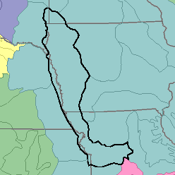
MLRA 107 - Iowa and Missouri Deep Loess HillsIowa, Kansas, Nebraska, and Missouri53,810 km2 (20,770 mi2) |

|
Land Use:
Most of this area is in farms, and about 60 percent is cropland. Corn, soybeans, and hay are the principal crops. About 20 percent of the area is permanent pasture. About 10 percent, mainly in narrow belts of steep slopes bordering stream valleys and wet bottom land, is forested. Raising beef cattle and feeding beef cattle and hogs are important enterprises on many farms. The hazard of erosion is severe on the upland soils. Controlling flooding and sedimentation on bottom lands are concerns of management.
Soil Landscapes | Soil Climates | Soil Datasets | Personnel | Site Map
Comments and Questions
12/16/98