


|
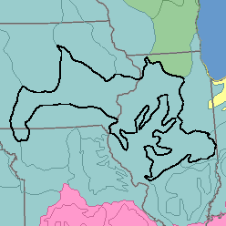
MLRA 108 - Illinois and Iowa Deep Loess and DriftIllinois, lowa, and Missouri79,790 km2 (30,800 mi2) |

|
Land Use:
Nearly all this area is in farms, and about 80 percent is cropland. Corn, soybeans, and other feed grains grown extensively on the less sloping soils are sold as cash crops. In areas where slopes are strong, more of the land is used for hay and pasture and more of the grain is fed to livestock on farms where it is grown. About 10 percent of the area is in introduced and native grasses. Making up about 5 percent are narrow bands of forest on steep valley sides and wet bottom land. About 5 percent is used for urban development and other purposes. Conservation practices are used to reduce erosion, flooding, and sedimentation.
Soil Landscapes | Soil Climates | Soil Datasets | Personnel | Site Map
Comments and Questions
12/16/98