


|
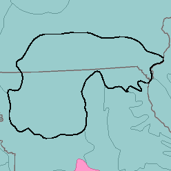
MLRA 109 - Iowa and Missouri Heavy Till Plainlowa and Missouri37,110 km2 (14,330 mi2) |

|
Elevation and Topography:
Elevation ranges from 200 m in the lowest valleys to 300 m on the highest ridges. This dissected till plain has a thin mantle of loess. Slopes are mostly rolling to hilly but some broad ridgetops are nearly level to undulating. The slopes bordering major stream valleys are steep. A few large rivers have nearly level broad valley floors. Local relief is mainly several meters to 25 or 50 m, but the upland flats and valley floors have local relief of only 1 or 2 m.
Soil Landscapes | Soil Climates | Soil Datasets | Personnel | Site Map
Comments and Questions
12/16/98