


|
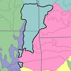
MLRA 112 - Cherokee PrairiesKansas, Missouri, and Oklahoma59,410 km2 (22,940 mi2) |

|
Elevation and Topography:
Elevation ranges from 100 to 400 m. These gently sloping to rolling dissected plains are underlain by sandstone, shale, and limestone. The northern part has a thin mantle of loess. Even though the area is thoroughly dissected, local relief is in meters, and large valleys are about 25 m below the adjacent uplands.
Soil Landscapes | Soil Climates | Soil Datasets | Personnel | Site Map
Comments and Questions
12/16/98