


|
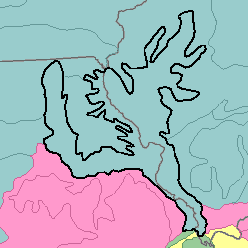
115 - Central Mississippi Valley Wooded SlopesIndiana, Illinois, and Missouri60,860 km2 (23,500 mi2) |

|
Elevation and Topography:
Elevation ranges from 100 m on the main valley floors to 300 m on the ridgetops. This dissected glacial till plain has rolling narrow ridgetops and hilly to steep ridge slopes and valley sides. The small streams have narrow valleys and steep gradients. The major rivers have nearly level broad flood plains. Valley floors are tens of meters below the adjoining hilltops.
Soil Landscapes | Soil Climates | Soil Datasets | Personnel | Site Map
Comments and Questions
12/16/98