


|
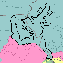
115 - Central Mississippi Valley Wooded SlopesIndiana, Illinois, and Missouri60,860 km2 (23,500 mi2) |

|
Land Use:
Nearly all this area is in farms, and about 40 percent is cropland. Feed grains and hay for livestock are the principal crops, but grape vineyards and peach and apple orchards are important in some places. About 35 percent of the area is forested, which includes some national forests. Most of the remainder of the farmland is in permanent pasture and native grasses. The hazards of erosion and sedimentation are severe in urban areas near St. Louis and other cities and on the farmland.
Soil Landscapes | Soil Climates | Soil Datasets | Personnel | Site Map
Comments and Questions
12/16/98