


|
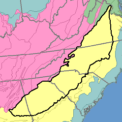
MLRA 136 - Southern PiedmontAlabama, Georgia, North Carolina, South Carolina, and Virginia161,430 km2 (62,330 mi2) |

|
Elevation and Topography:
Elevation ranges from 100 to 400 m. Drainage patterns are well defined. Streams have dissected the original plateau, leaving narrow to fairly broad upland ridgetops and short slopes adjacent to the major streams. The valley floors generally are narrow and make up about 10 percent or less of the land area. The associated stream terraces are minor.
Soil Landscapes | Soil Climates | Soil Datasets | Personnel | Site Map
Comments and Questions
12/16/98