

|
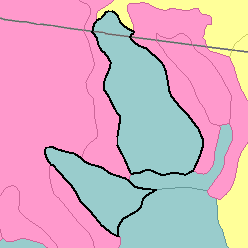
MLRA 32 - Northern Intermountain Desertic BasinsMontana and Wyoming21,210 km2 (8,190 mi2) |

|
Land Use:
More than one-half of this area is federally owned. The remainder is in farms and ranches. Most of the land is used for grazing. The range consists of desert shrubs and short grasses. About 5 percent of the area is irrigated. Most of the acreage is planted to alfalfa and other feed crops, but dry beans, malt barleys, sugar beets, and corn are important cash crops.
Soil Landscapes | Soil Climates | Soil Datasets | Personnel | Site Map
Comments and Questions
12/16/98