


|
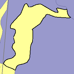
MLRA 58C - Northern Rolling High Plains, Northeastern PartNorth Dakota8,400 km2 (3,240 mi2) |

|
Elevation and Topography:
Elevation ranges from 600 to 1,000 m. This area consists mainly of badland and moderately steep to steep slopes along the Little Missouri River and its tributaries. The Killdeer Mountains are also in this area.
Soil Landscapes | Soil Climates | Soil Datasets | Personnel | Site Map
Comments and Questions
12/16/98