


|
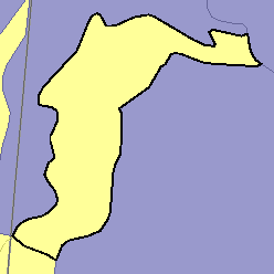
MLRA 58C - Northern Rolling High Plains, Northeastern PartNorth Dakota8,400 km2 (3,240 mi2) |
|
Water:
In most years, the supply of moisture is inadequate for maximum crop production. The Little Missouri River is the principal source of surface water. Ground water is scarce or is lacking in areas underlain by shale. Water for livestock is stored in ponds.
Soil Landscapes | Soil Climates | Soil Datasets | Personnel | Site Map
Comments and Questions
12/16/98