


|
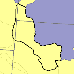
MLRA 58D - Northern Rolling High Plains, Eastern PartNorth Dakota and South Dakota10,000 km2 (3,860 mi2) |

|
Land Use:
More than four-fifths of this area is in ranches. Most of the remainder is state and federally owned. Most of the area is in native grasses and shrubs grazed by cattle and sheep. Gently sloping, deep and moderately deep soils, making up 10 to 15 percent of the area, are dry-farmed to wheat and alfalfa. Some tracts are in tame pasture. The upper slopes and tops of some of the higher buttes are open woodland.
Soil Landscapes | Soil Climates | Soil Datasets | Personnel | Site Map
Comments and Questions
12/16/98