


|
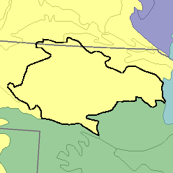
MLRA 65 - Nebraska Sand HillsNebraska and South Dakota56,810 km2 (21,930 mi2) |

|
Elevation and Topography:
Elevation ranges from 600 to 1,200 m, increasing gradually from east to west. Most of this area consists of rolling to steep, irregular sand dunes stabilized by grass vegetation and of narrow elongated, nearly level to gently sloping valleys between the sand dunes. Sand dunes and narrow valleys commonly extend for several miles in a northwest-southeast direction. There are many scattered small, level depressions. Streams are few, but there are many small permanent and intermittent lakes. The height of the dunes ranges from meters to tens of meters.
Soil Landscapes | Soil Climates | Soil Datasets | Personnel | Site Map
Comments and Questions
12/16/98