


|
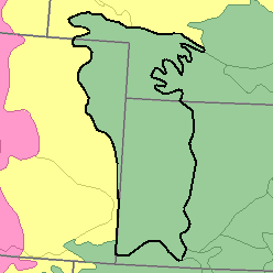
MLRA 72 - Central High TablelandColorado, Kansas, and Nebraska77,220 km2 (29,810 mi2) |

|
Elevation and Topography:
Elevation ranges from 800 to 1,200 m, increasing from east to west. On this smooth loess-mantled tableland, slopes are mostly nearly level to gently rolling, but the major valleys are bordered by steep slopes. The Arkansas and Platte Rivers and a few of their larger tributaries have broad level flood plains and terraces. The local relief on uplands is in meters, but valleys are tens of meters below the general level of the upland.
Soil Landscapes | Soil Climates | Soil Datasets | Personnel | Site Map
Comments and Questions
12/16/98