


|
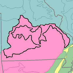
MLRA 116B - Ozark BorderMissouri35,470 km2 (13,690 mi2) |

|
Elevation and Topography:
Elevation ranges from 200 to 500 m. These broad limestone ridges and remnants of plateaus have gently sloping to moderately sloping tops and strongly sloping to steep side slopes. The stream valleys are narrow to moderately wide and have relatively steep gradients. Local differences in elevation range from 1 to 10 meters.
Soil Landscapes | Soil Climates | Soil Datasets | Personnel | Site Map
Comments and Questions
12/16/98