


|
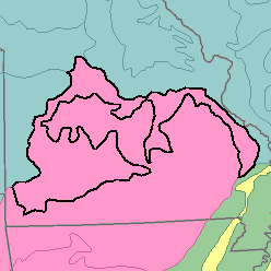
MLRA 116B - Ozark BorderMissouri35,470 km2 (13,690 mi2) |

|
Land Use:
About 40 percent of this area is cleared of timber and brush and is cultivated. Forage and grain are grown as feed for beef, dairy cattle, and other livestock. Corn, soybeans, sorghum, small grain, grass, alfalfa, and other legumes are the major crops. About 35 percent of the area consists of forests or woodland, most of which is in farm woodlots and large holdings. About 25 percent is permanent pasture of introduced grasses and legumes. Summer droughts and susceptibility of the soils to erosion are major land use problems.
Soil Landscapes | Soil Climates | Soil Datasets | Personnel | Site Map
Comments and Questions
12/16/98