


|
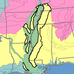
MLRA 134 - Southern Mississippi Valley Silty UplandsArkansas, Kentucky, Louisiana, Mississippi, and Tennessee51,410 km2 (19,850 mi2) |

|
Elevation and Topography:
Elevation ranges from 25 to 100 m. The sharply dissected plains have a thick loess mantle that is underlain by unconsolidated sand, silt, and clay, mainly of marine origin. Valley sides are hilly to steep, especially in the west. The intervening ridges are mostly narrow and rolling, but some of the interfluves between the upper reaches of the valleys are broad and flat. Stream valleys are narrow in the upper reaches but broaden rapidly downstream and have wide, flat flood plains and meandering stream channels. Local relief is mainly several meters to 25 or 50 m.
Soil Landscapes | Soil Climates | Soil Datasets | Personnel | Site Map
Comments and Questions
12/16/98