


|
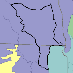
MLRA 55B - Central Black Glaciated PlainsNorth Dakota and South Dakota52,480 km2 (20,260 mi2) |

|
Elevation and Topography:
Elevation ranges from 300 to 600 m, increasing from east to west. Most of this area is nearly level to undulating till plains that include areas of kettle holes, kames, and moraines. Glacial lake plains and some steep slopes are adjacent to streams.
Soil Landscapes | Soil Climates | Soil Datasets | Personnel | Site Map
Comments and Questions
12/16/98