


|
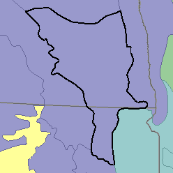
MLRA 55B - Central Black Glaciated PlainsNorth Dakota and South Dakota52,480 km2 (20,260 mi2) |

|
Land Use:
Nearly all this area is in farms and ranches, and about 70 percent is cropland that is dry-farmed. Cash-grain wheat production is the principal enterprise on many farms. Other small grains, feed grains, hay, flax, and sunflowers are also grown. About one-fourth of the area, consisting of the more sloping and thinner soils, is native range and some woodland.
Soil Landscapes | Soil Climates | Soil Datasets | Personnel | Site Map
Comments and Questions
12/16/98