


|
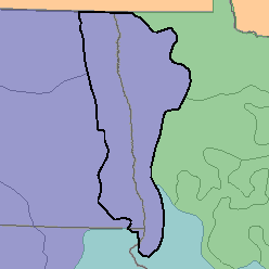
MLRA 56 - Red River Valley of the NorthMinnesota, North Dakota, and South Dakota41,230 km2 (15,920 mi2) |

|
Elevation and Topography:
Elevation is 300 m, decreasing gradually to 200 m in the north. This nearly level glacial lake plain is bordered on the east by outwash, gravelly beaches, and dunes.
Soil Landscapes | Soil Climates | Soil Datasets | Personnel | Site Map
Comments and Questions
12/16/98