


|
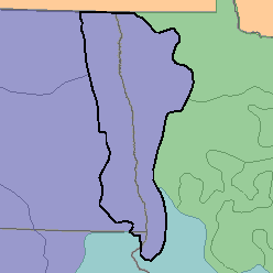
MLRA 56 - Red River Valley of the NorthMinnesota, North Dakota, and South Dakota41,230 km2 (15,920 mi2) |

|
Land Use:
Nearly all this area is in farms and ranches, and about 80 percent is cropland that is dry-farmed. Important cash crops are spring wheat, soybeans, potatoes, sugar beets, and corn. Some oil-producing crops and edible beans are grown. On some farms, feed grains and forage for dairy cattle are the principal crops. Nearly 10 percent of the area in the northeast is wooded.
Soil Landscapes | Soil Climates | Soil Datasets | Personnel | Site Map
Comments and Questions
12/16/98