


|
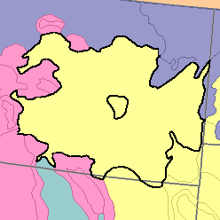
MLRA 58A - Northern Rolling High Plains, Northern PartMontana and Wyoming105,620 km2 (40,780 mi2) |

|
Land Use:
Most of this area consists of privately owned ranches. The remainder is federally owned. Most of it is in native grasses and shrubs grazed by cattle and sheep. The rest is mainly dry-farmed to wheat. Narrow strips of land along the Yellowstone River and its main tributaries are irrigated. Sugar beets, alfalfa, other hay crops, and corn for silage are the principal crops. Some of the land is in tame pasture. The upper slopes and tops of some of the higher buttes and mountains are open woodland.
Soil Landscapes | Soil Climates | Soil Datasets | Personnel | Site Map
Comments and Questions
12/16/98