

|
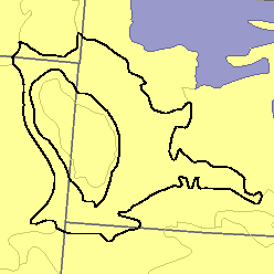
MLRA 60A - Pierre Shale Plains and BadlandsNebraska, South Dakota, and Wyoming23,600 km2 (9,110 mi2) |

|
Elevation and Topography:
Elevation is generally 800 to 1,100 m on uplands but ranges to 1,300 m. These shale plains have long, smooth slopes and are mostly gently sloping to strongly sloping. Along drainages and streams, slopes are moderately steep to steep. The Badlands consist of eroded walls and escarpments, small grass-covered tableland and mesas, and basins in which there are scattered eroded buttes. Slopes range from nearly level to very steep. This area is cut by many drainages and gullies.
Soil Landscapes | Soil Climates | Soil Datasets | Personnel | Site Map
Comments and Questions
12/16/98