


|
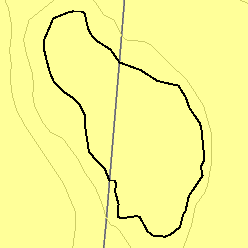
MLRA 62 - Black HillsSouth Dakota and Wyoming9,200 km2 (3,550 mi2) |

|
Elevation and Topography:
Elevation is mainly 1,100 to 2,000 m, but it is 2,200 m on Harney Peak. Slopes range from moderate on some of the high plateaus to very steep along drainageways and on peaks and ridges. Narrow valleys are mostly gently sloping to strongly sloping.
Soil Landscapes | Soil Climates | Soil Datasets | Personnel | Site Map
Comments and Questions
12/16/98