


|
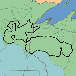
MLRA 90 - Central Wisconsin and Minnesota Thin Loess and TillMinnesota and Wisconsin55,750 km2 (21,530mi2) |

|
Land Use:
Except for the state and national forests and some Indian reservations, nearly all this area is in farms. Slightly more than one-fourth is cropland used mainly for growing feed grains and forage for dairy cattle. Potatoes, sweet corn, and canning peas are important cash crops. Other vegetables and fruits are grown locally. About one-sixth of the area is pasture and native grasses. Most of the remainder is forested, mainly farm woodlots and state and national forests. Forested areas are used for pulp and timber production and for recreation. Controlling erosion on steep slopes and improving drainage on wet soils are the principal concerns of management.
Soil Landscapes | Soil Climates | Soil Datasets | Personnel | Site Map
Comments and Questions
12/16/98