


|
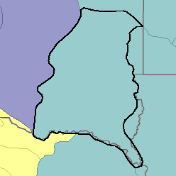
MLRA 102B - Loess Uplands and Till PlainsIowa, Minnesota, South Dakota, and Nebraska43,790 km2 (16,910 mi2) |

|
Elevation and Topography:
Elevation ranges from 300 to 400 m on the Missouri River bottom land to 400 to 500 m on uplands. The loess uplands are characterized by long smooth slopes and well-defined drainages. The till plains are mostly nearly level to gently rolling and have many depressions and ill-defined drainages. Steeper slopes are on the sides of drainageways and in breaks adjacent to some of the larger tributaries.
Soil Landscapes | Soil Climates | Soil Datasets | Personnel | Site Map
Comments and Questions
12/16/98