


|
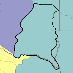
MLRA 102B - Loess Uplands and Till PlainsIowa, Minnesota, South Dakota, and Nebraska43,790 km2 (16,910 mi2) |

|
Land Use:
Most of this area is in farms, and about 70 percent is cropland. The area is used primarily for crops grown for sale or for feeding livestock. Corn, soybeans, grain sorghum, alfalfa, and oats are the principal crops. Wooded sections generally are narrow bands along streams and rivers or are shelterbelts around farmsteads. Irrigation is increasingly practiced in areas where water supplies are available. Urban development is expanding around some of the larger cities.
Soil Landscapes | Soil Climates | Soil Datasets | Personnel | Site Map
Comments and Questions
12/16/98