

|
MLRA 54 - Rolling Soft Shale PlainMontana, North Dakota, and South Dakota58,100 km2 (22,430 mj2) |

|
Elevation and Topography:
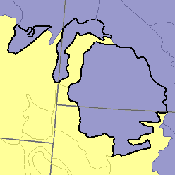
Elevation is 500 m in the east and gradually slopes to about 1,100 m in the west. This moderately dissected rolling plain is underlain by soft calcareous shale, siltstone, and sandstone. Maximum local relief is about 100 m but is considerably less in most of the area. Buttes, badland, and moderately steep and steep slopes are adjacent to major valleys. The northern and eastern parts have a glacially modified topography and in some places are covered by thin layers of glacial drift.
Soil Landscapes | Soil Climates | Soil Datasets | Personnel | Site Map
Comments and Questions
12/16/98