


|
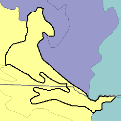
MLRA 63B - Southern Rolling Pierre Shale PlainsSouth Dakota and Nebraska28,400 km2 (10,970 mi2) |

|
Elevation and Topography:
Elevation ranges from 400 to 500 m on the bottom land of the Missouri River to 400 to 600 m on the shale plain uplands. The areas that are cropped are mainly at elevations of about 500 m. These areas are nearly level to rolling and have long smooth slopes and a well-defined dendritic drainage system. Rivers and creek valleys have smooth floors and steep walls.
Soil Landscapes | Soil Climates | Soil Datasets | Personnel | Site Map
Comments and Questions
12/16/98