


|
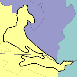
MLRA 63B - Southern Rolling Pierre Shale PlainsSouth Dakota and Nebraska28,400 km2 (10,970 mi2) |

|
Land Use:
Most of this area is in farms and ranches. Urban expansion is limited. The area is used mainly for livestock production and cash-grain farming. Alfalfa, sorghum, and hay are the principal crops grown for livestock feed. Winter wheat, grain sorghum, and corn are the main cash crops.
Soil Landscapes | Soil Climates | Soil Datasets | Personnel | Site Map
Comments and Questions
12/16/98