


|
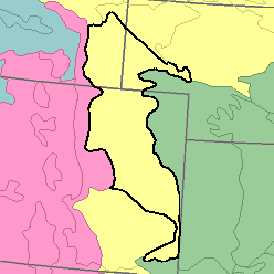
MLRA 67 - Central High PlainsColorado, Nebraska, and Wyoming74,410 km2 (28,730 mi2) |

|
Elevation and Topography:
Elevation ranges from 1,100 to 1,800 m, increasing gradually from east to west. These undulating to rolling plains have been moderately dissected by streams. Steep slopes border the valleys of the larger streams and also the edges of isolated mesas. The dunes bordering some of the valleys have rolling to hilly irregular topography. Local relief is mainly in meters to tens of meters.
Soil Landscapes | Soil Climates | Soil Datasets | Personnel | Site Map
Comments and Questions
12/16/98