


|
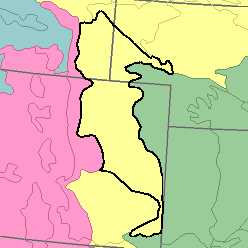
MLRA 67 - Central High PlainsColorado, Nebraska, and Wyoming74,410 km2 (28,730 mi2) |

|
Land Use:
Most of this area is in farms and ranches, but land near Denver and other cities along the western edge is being converted to urban use. About three-fifths is in range of native short and mid grasses grazed by cattle and sheep. About one-fourth is dry-farmed to wheat and other grains. An extensive acreage is irrigated. Corn, alfalfa, sugar beets, and vegetables are the major irrigated crops. Wet soils on flood plains are in meadows used for hay or pasture.
Soil Landscapes | Soil Climates | Soil Datasets | Personnel | Site Map
Comments and Questions
12/16/98