

|
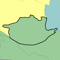
MLRA 71 - Central Nebraska Loess HillsNebraska26,220 km2 (10,120 mi2) |

|
Elevation and Topography:
Elevation ranges from 500 to 800 m, increasing from east to west. Nearly level to gently sloping loess-mantled narrow ridgetops are separated by steep slopes bordering drainageways. Some stream valleys have nearly level flood plains and large stream terraces. Nearly level soils on high stream terraces are in the southern part of the area in the Platte River Valley. Local relief is in meters to tens of meters.
Soil Landscapes | Soil Climates | Soil Datasets | Personnel | Site Map
Comments and Questions
12/16/98