

|
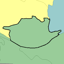
MLRA 71 - Central Nebraska Loess HillsNebraska26,220 km2 (10,120 mi2) |

|
Land use:
Nearly all this area is in farms and ranches, and almost two-fifths is dry-farmed. About one-half of the area is in native grasses used for grazing. Winter wheat, grain sorghum, and alfalfa are the major dry-farmed cash crops. Between 5 and 10 percent of the area, consisting of flood plains and terraces along the Platte River and its larger tributaries, is irrigated. Corn, alfalfa, and seed crops are the principal irrigated crops. Alfalfa is commercially grown in the Platte River Valley. Vegetables are commercially grown on some of the mixed sandy and silty soils.
Soil Landscapes | Soil Climates | Soil Datasets | Personnel | Site Map
Comments and Questions
12/16/98