


|
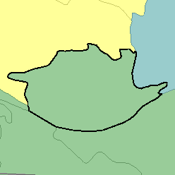
MLRA 71 - Central Nebraska Loess HillsNebraska26,220 km2 (10,120 mi2) |
|
Water:
In most of the area, the low erratic precipitation is the source of water for crops and native grasses. The larger rivers provide water for irrigation along their valleys. In much of the area, good quality ground water is abundant for domestic and livestock needs and is used locally for irrigation. Gravity irrigation is practiced extensively on bottom lands and stream terraces of the Platte River and other larger streams.
Soil Landscapes | Soil Climates | Soil Datasets | Personnel | Site Map
Comments and Questions
12/16/98