


The mean depth-to-bedrock for each STATSGO map unit was computed by first calculating the mean depth-to-bedrock for each component in the map unit using the ROCKDEPL (low) and ROCKDEPH (high) values from the STATSGO Component table. In some cases, the Layer table entries for the component specified a non-rock layer extending below the depth specified by ROCKDEPL/H; however, no attempt was made to adjust the mean bedrock depth for these cases.
The mean bedrock depth for the entire map unit was then computed as the weighted average of the mean depth-to-bedrock for each component, weighting each component by the percentage of the map unit area as given by the COMPPCT value. The average values were rounded to the nearest centimeter.
Many STATSGO Component table entries for depth to bedrock
used 60 inches (152 cm) to indicate that bedrock was not encountered
within this distance of the surface. As a result, the mean depth-to-bedrock
values should be used primarily to identify mapunits in which bedrock may
be encountered at depths shallower than 152 cm.
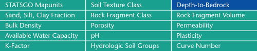
Sand, Silt, Clay Fractions | Rock Fragment Class | Rock Fragment Volume
Bulk Density | Porosity | Permeability
Available Water Capacity | pH | Plasticity
K-Factor | Hydrologic Soil Groups | Curve Numbers
Soil Landscapes | Soil Climates | Soil Datasets | Personnel | Site Map
Comments and Questions
4/19/99